

AfCEN Atlas
One governed map of Africa that answers back.
AfCEN Atlas puts corridor infrastructure, resources and projects on one governed, interactive map. Ask Mansa, the built-in agent, and it works the map for you.
- Coverage
- 54 African countries, and nowhere else
- Main map
- 69 layers in 20 groups
- Ways to bring data in
- 7, from PostGIS to a Shapefile upload
- Languages
- English and Portuguese
What Atlas is
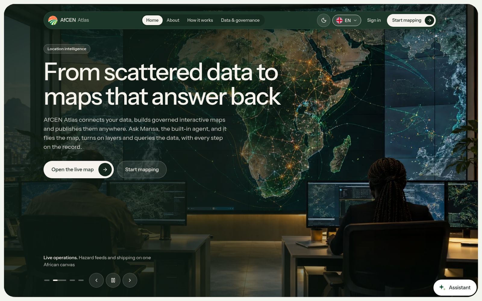
AfCEN Atlas is the location-intelligence platform built by the Africa Climate and Energy Nexus. It puts corridor infrastructure, resources and projects on one governed, interactive map of the African continent.
Across African corridors the same questions come up in every meeting: where the railway runs, how far the port is, which zones have power, where water is scarce. The answers usually sit in PDFs, spreadsheets and GIS files that disagree. Atlas connects that data where it lives, styles layers once, publishes versions deliberately and records every change.
Mansa, the built-in agent, lets anyone ask the map a question without learning GIS. Machines propose and people with the right permissions publish. A source that fails is shown as unavailable, not hidden.
Gallery
A look inside Atlas. Select a picture to see it full size.
Introductory video coming soon
Until then, ask MANSA for a quick tour of Atlas.
How it works
From first visit to results.
Connect
Link PostgreSQL, PostGIS, Corridor OS, an ArcGIS FeatureServer or a WFS, or upload GeoJSON, CSV, KML or a zipped Shapefile.
Build
Create a map and add layers from your datasets, grouped the way your audience thinks.
Style
Set colours, icons, labels, legends and zoom ranges over light, dark or satellite basemaps.
Version and publish
Validate the map and publish a fixed, checksummed version at a stable link, with public, organisation or private access.
Embed, share and ask
Share the link, embed the viewer, or ask Mansa a question and watch it work the map.
What you can do with it
Main map
Transport, energy, water, climate, land and people layers, clipped to the continent and traceable to source.
Live feeds
Earthquakes, fires, disaster alerts and port calls as they happen.
Mansa on the map
Flies the camera, toggles layers, queries datasets and explains fields and coverage. Every step is recorded in Activity.
Dataset catalogue
Every source with its licence, attribution, feature count, coverage and ingestion status.
Publication check and history
What passes, what blocks publication, and every published version with who published it and when.
Published maps
Ready maps include an all-layers AfCEN map and the MRU Corridor map covering Côte d'Ivoire, Guinea, Liberia and Sierra Leone.
Who it’s for
Corridor authorities and governments
One shared map of corridor infrastructure and projects, with every layer traceable to its source.
Investors and analysts
Answers to location questions in plain language, without learning GIS.
Partners and other platforms
A published map they can open, embed and question, with a version that does not change once pinned.
Connected to the AfCEN intelligence layer
Atlas reads Corridor OS data directly, and the Corridor OS platforms and other AfCEN sites embed its maps instead of copying them.
Works hand in hand with
MRU Corridor OS
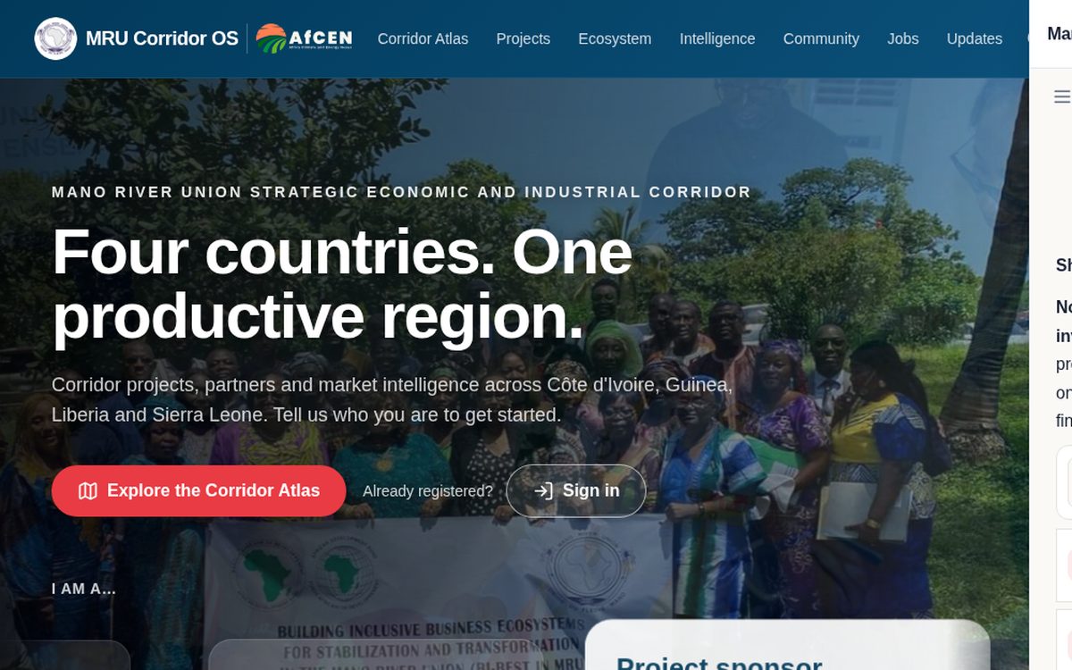
PreviewThe corridor data and investment platform for the Mano River Union Strategic Economic and Industrial Corridor, across Côte d'Ivoire, Guinea, Liberia and Sierra Leone.
View platform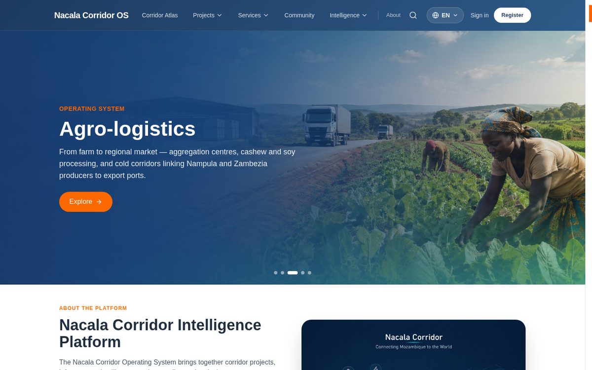
Nacala Corridor OS
PreviewSpatial, logistics, investment and trade intelligence for the Nacala Corridor, linking the port of Nacala in Mozambique with Malawi and Zambia.
View platform
Intelligence workspace
PreviewYour own workspace on the AfCEN intelligence layer: ask MANSA, explore the Atlas map, screen projects and keep what matters.
View platformSectors it serves
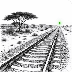
Transport
Corridors, logistics and cross-border infrastructure.
41 corridor projects tracked
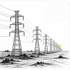
Energy
Generation, transmission, markets and infrastructure.
19 corridor projects tracked
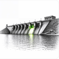
Water
Water infrastructure, projects and investment needs.
4 corridor projects tracked
Climate & resilience
Climate finance, adaptation and the resilience of infrastructure.

Regional programmes
Multi-sector programmes that run across countries and corridors.
10 corridor projects tracked

Questions people ask
Can I explore a map without an account?
Yes. The main map is public. You can explore its layers and ask questions without signing in. Building your own maps needs an account.
What can Mansa do on the map?
It flies the camera to places and features, turns layers on and off, queries datasets, explains fields and coverage, and plans multi-step work. Every step is traceable in Activity.
Where does the data come from?
Open sources such as OpenStreetMap, USGS, NASA FIRMS, GDACS, Copernicus Sentinel-2, WorldPop and the World Bank. Partners can also connect their own data. Nothing is invented to fill a gap.
What will a map not tell me?
Land title, survey-grade positions, field verification, official borders, real-time operational status and investment or permitting decisions stay with the people and processes that own them.
Get started with Atlas
Open the live map and try the layers, or start mapping to bring your own corridor data in.